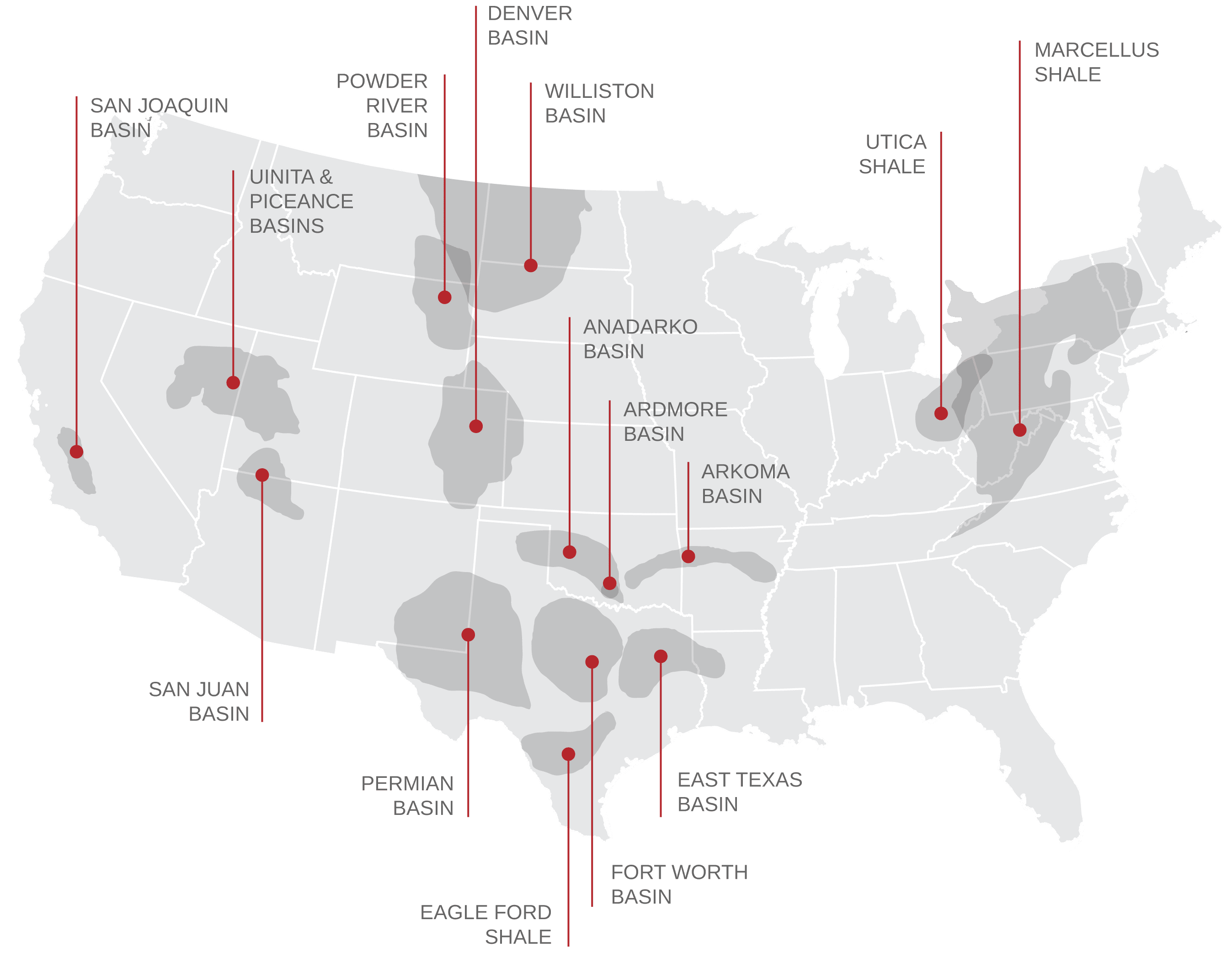
A PICTURE IS WORTH A THOUSAND WORDS
GIS Mapping
McDonald Land Services provides full GIS Mapping services to its clients across the country, with cutting-edge GIS mapping applications and technologies. Having access to high quality, detailed maps, visuals and accompanying data is crucial to companies when analyzing and making strategic decisions about an oil or natural gas play. To meet this need, McDonald Land Services is equipped with world-class GIS mapping applications and technologies.
Cutting-Edge Technology
Using cutting-edge surveying and mapping tools, our team of GIS mapping experts are able to seamlessly integrate visual assets such as aerial photographs, maps and renderings with informational databases and spreadsheets. These layered, multi-dimensional visuals empower our clients to make informed decisions as quickly as possible, minimizing wasted time, money and resources.
Skilled Reporting Experts
GIS specialists are highly skilled at creating both standard and custom project status reports as well as financial and statistical reports.
GIS Mapping Specialities:
- Digital Imaging
- Mapping
- Custom Project Status Reports
- Financial Statistical Reports
All Land Services
All Land Services
Worksites Nationwide
States Covered

